Tocht Stappen Les Plantiers - Rando Cœur Cévennes - Photo

Rando Cœur Cévennes

 mrclic34
mrclic34

Gebruiker

© OpenStreetMap contributors
Lengte
Lengte
9,1 km
Max. hoogte
Max. hoogte
932 m
Positief hoogteverschil
360 m
Km-Effort
Km-Effort  
13,9 km
Min. hoogte
Min. hoogte
604 m
Negatief hoogteverschil
347 m
Boucle
Boucle
Ja
Datum van aanmaak :
2014-12-10 00:00:00.0
Laatste wijziging :
2014-12-10 00:00:00.0

(0 Bericht)

Stappen
Stappen
3h44
Moeilijkheid : Heel gemakkelijk

Scan deze QR-code om de tocht te openen in de SityTrail-applicatie

Gratisgps-wandelapplicatie

Logo SityTrail SityTrail

IGN / Geografische instituten

SityTrail uit de App Store downloaden SityTrail uit Google Play downloaden

Logo SityTrail SityTrail World

De wereld gaat voor u open

SityTrail uit de App Store downloaden SityTrail uit Google Play downloaden SityTrail op Huawei AppGallery downloaden

Over ons

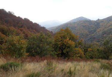
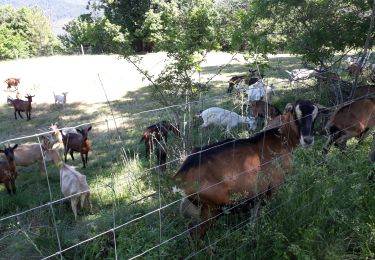
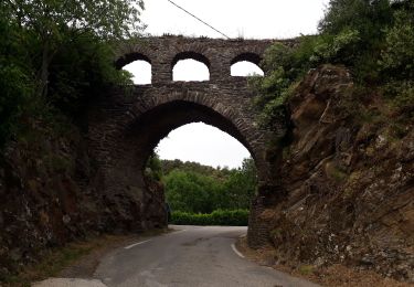
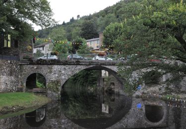
Tocht Stappen van 9,1 km beschikbaar op Occitanië, Gard, Les Plantiers. Deze tocht wordt voorgesteld door mrclic34.

Beschrijving

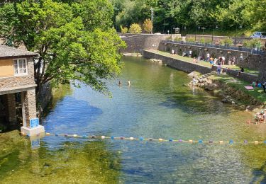
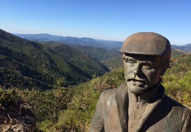
Très belle promenade au coeur des Cevennes. A ne pas louper si vous passez à coté.

Hoogteprofiel

Foto's

Plaatsbepaling

Land:
France
Regio :
Occitanië
Departement/Provincie :
Gard
Gemeente :
Les Plantiers
Locatie:
Unknown
Vertrek:(Dec)
Vertrek:(UTM)
556684 ; 4882867 (31T) N.

Wandeltochten in de omgeving

Tocht Stappen Les Plantiers - Sentier de Saint Marcel de Fontfouillouse -  Les Plantiers - Photo
Stappen
tracegps

Stappen

Zeer moeilijk
(1)
Les Plantiers, Occitanië, Gard, France
13,6 km | 21 km-effort
4h 0min
Ja
Tocht Stappen Les Plantiers - Vallée Borgne - Photo
Stappen
GUIDE
nadinebondoux

Stappen

Moeilijk
Les Plantiers, Occitanië, Gard, France
19,7 km | 32 km-effort
5h 19min
Ja
Tocht Stappen Saumane - Exil / pont des chèvres  - Photo
Stappen
GUIDE
nadinebondoux

Stappen

Moeilijk
Saumane, Occitanië, Gard, France
17,3 km | 27 km-effort
5h 53min
Ja
Tocht Stappen Les Plantiers - vallée Borgne - Photo
Stappen
GUIDE
nadinebondoux

Stappen

Moeilijk
Les Plantiers, Occitanië, Gard, France
25 km | 36 km-effort
6h 15min
Ja
Tocht Stappen Les Plantiers - Les Plantiers et st Marcel de Fontfouillouse - Photo
Stappen
GUIDE
randotines

Stappen

Moeilijk
(1)
Les Plantiers, Occitanië, Gard, France
13,6 km | 21 km-effort
4h 33min
Ja
Tocht Stappen Les Plantiers - Sentier du Mouflon - Les Plantiers  - Photo
Stappen
GUIDE
randotines

Stappen

Moeilijk
Les Plantiers, Occitanië, Gard, France
11,2 km | 18,6 km-effort
3h 30min
Ja
Tocht Te voet Les Plantiers - Sentier de Fontfouillouse - Photo
Te voet
PRO

Te voet

Gemakkelijk
Les Plantiers, Occitanië, Gard, France
9,2 km | 15,2 km-effort
3h 27min
Neen
Tocht Stappen Les Plantiers - les plantiers, abbaye de Fontfouillouse  - Photo
Stappen
francislassauce

Stappen

Medium
Les Plantiers, Occitanië, Gard, France
7,4 km | 11,8 km-effort
3h 16min
Ja
Tocht Stappen Val-d'Aigoual - Col d’asclier rocher de l’aigle  - Photo
Stappen
GUIDE
antignacs

Stappen

Zeer moeilijk
Val-d'Aigoual, Occitanië, Gard, France
20 km | 30 km-effort
6h 10min
Ja


Sluiten
Mijn abonnementen